Aerial Spraying
GPS-guided drone spraying for herbicides, pesticides, fungicides, and liquid fertilizers — covering more acres in less time with less product.
Learn MoreGPS-guided drone spraying and spreading across British Columbia's agricultural and horticultural regions.
Your Aerial Application Professionals
Volare Aerial Services delivers professional drone aerial application across British Columbia's agricultural and horticultural sectors. Transport Canada certified and GPS-equipped, we bring a level of precision and accountability that ground equipment simply can't match — with complete flight records provided on every job.
From herbicide and fungicide applications over field crops to fertilizer and seed spreading on terrain too wet or steep for conventional equipment, we work with farmers, orchardists, and growers across BC to get the job done on time and on target.
Fully certified under Transport Canada's RPAS Advanced Operations category.
Sub-metre accuracy with complete flight logs delivered after every application.
No heavy ground equipment — no ruts, no soil damage, no yield loss.
Operating across 12 regional districts from the Fraser Valley to the Kootenays.
Our Vision
We believe BC agriculture deserves better than guesswork — better than the soil compaction of heavy ground equipment, and better than applications that miss their mark. Volare Aerial Services exists to raise that standard: delivering precise, accountable aerial application that protects your land, respects your investment, and produces results you can measure.
GPS-guided passes, sub-metre accuracy, and full flight records delivered after every job. No guesswork — ever.
Honest assessments and transparent pricing. We tell you what you need, not what earns us the most.
Targeted, efficient applications mean less chemical waste, zero soil compaction, and a healthier outcome for your land.
What We Do
Purpose-built drone platforms for liquid applications and dry material spreading — covering more ground in less time.
GPS-guided drone spraying for herbicides, pesticides, fungicides, and liquid fertilizers — covering more acres in less time with less product.
Learn MoreDrone-based spreading of granular fertilisers, cover crop seeds, and dry materials — reaching places traditional spreaders can't go.
Learn MoreDrone-applied whitewash coating for greenhouse roofs — reducing heat and light stress on crops quickly and safely, without scaffolding or ground crew working at height.
Learn MoreDrone-applied water washing to remove whitewash from greenhouse roofs at the end of the season — restoring full light transmission without manual scrubbing at height.
Learn MoreOur Equipment
We operate the DJI Agras T100 — one of the most capable agricultural drones available. A 100 L spray tank, sub-metre RTK positioning, and an 8-rotor heavy-lift platform means we can cover more ground, more accurately, in less time.
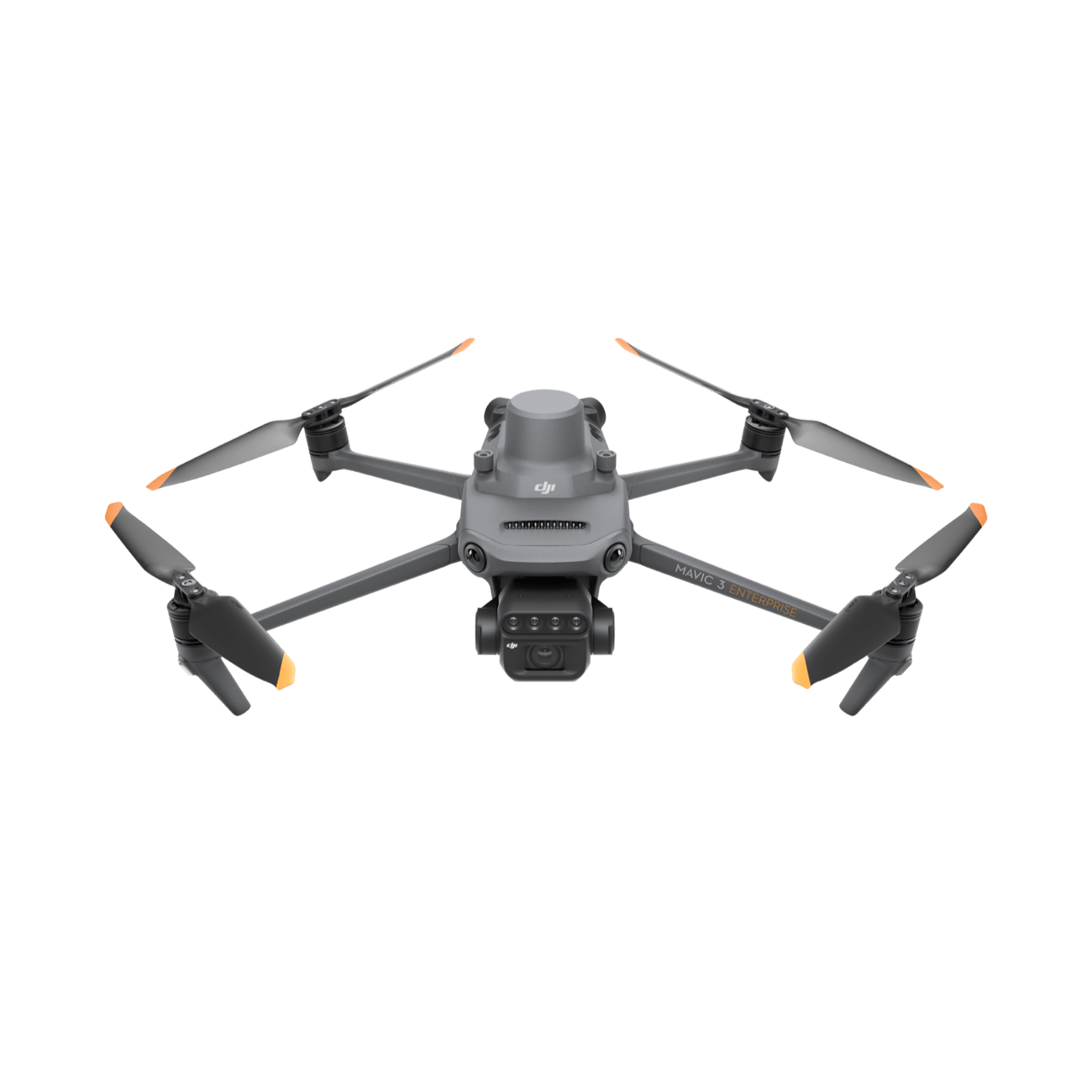
DJI Agras T100
Heavy-Lift Agricultural Drone
The T100 isn't a hobby drone — it's a purpose-built agricultural platform designed to perform in real field conditions. With obstacle-avoidance radar, RTK GPS, and a dual-pump spray system, it delivers consistent, repeatable results across every type of terrain we work in.
Whether we're applying herbicide over flat canola fields in the Fraser Valley or spreading seed on steep hillside terrain in the Kootenays, the T100 handles conditions that ground equipment simply can't reach.
100 L
Spray Tank
Fewer refills. More coverage per flight.
150 L
Spreading Tank
Seeds, fertilizer, and granular products.
5–13 m
Effective Spray Width
16–43 ft — adjustable per application.
±10 cm
RTK Positioning
Sub-metre GPS accuracy on every pass.
40 L/min
Max Flow Rate
~10.6 gal/min — rapid, precise liquid application.
100 kg
Operating Payload
Heavy-lift platform built for agriculture.
Why Drone?
See exactly why more operators are switching to aerial applications.
Ready to make the switch? Get a free quote →
Why Choose Volare
Drone technology isn't just faster — it changes what's possible on your land.
Every flight follows a pre-programmed GPS route, delivering consistent coverage with less product waste — no guessing, no skips, no overlaps.
Cover hundreds of acres per day without soil compaction or crop damage. We work fast so you can stay on schedule, even in tough conditions.
Reduce input costs through precision application. Less product drift, less waste, and faster turnaround means better returns per acre.
Reduced drift, targeted application, and zero soil compaction make drone services the most environmentally responsible option available today.
What Clients Say
Don't take our word for it — here's what our clients have to say.
"We used Volare for our herbicide pass on 800 acres this spring. Finished in two days, zero compaction, and the GPS maps they provided were incredibly detailed. We won't be going back to ground equipment."
"Had a wet spring and our sprayer couldn't get into half our fields. Called Volare and they were out within the week. Covered everything we needed and the application was spot on. Huge relief."
"Used their aerial spreading service for cover crop seeding mid-season. Easy to deal with, showed up when they said they would, and the coverage was even across the whole field. Will use again."
The Process
We handle the complexity — you stay focused on your operation.
Fill out our simple quote form with your field details and what you need. We'll respond within 24 hours with a price and availability.
Our team reviews your field maps, confirms product specs, and builds a custom flight plan matched to your field boundaries and application rate.
On application day, we arrive with our equipment calibrated and loaded. No delays, no surprises — just the job done right.
After every job you receive a GPS application map confirming coverage, rates, and any notes from the flight — full transparency.
Where We Operate
We provide aerial application services across BC's key agricultural and horticultural regions. Hover a district below — or on the map — to see where we operate.
Ready to Start?
Tell us about your fields and what you need applied. We'll come back with a competitive price and a timeline that works for your season.